Welcome to Marojejy
One of the most spectacular and biologically diverse mountain environments on Earth
Information About the Park
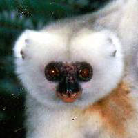
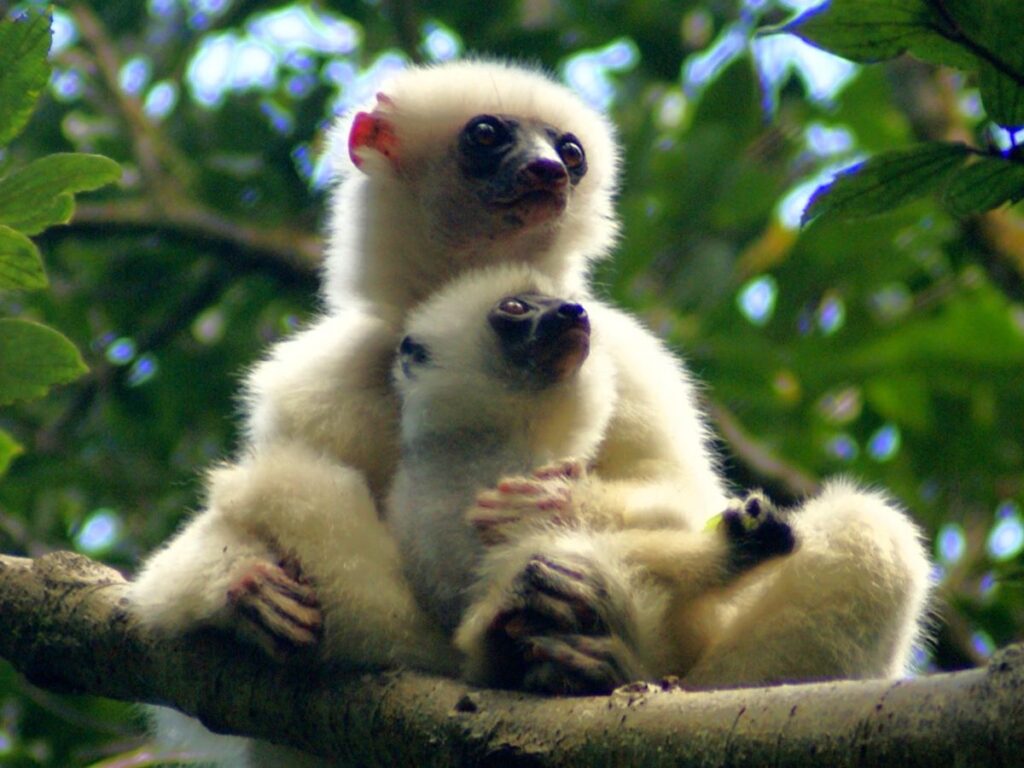
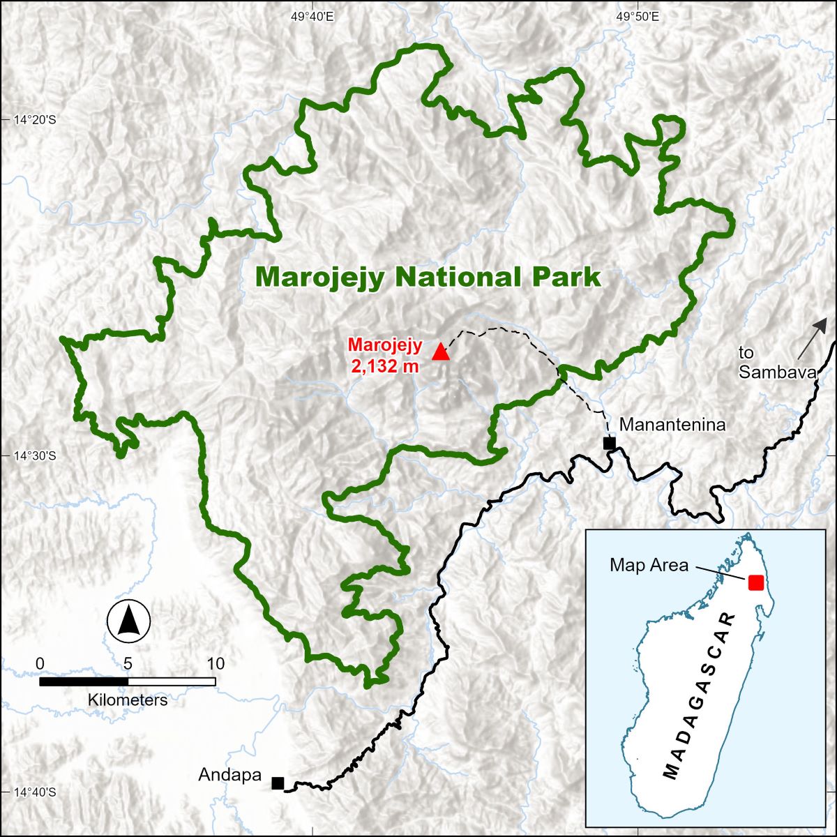
A UNESCO World Heritage Site, Marojejy is unique in the world: a place of lush, dense rainforests; sheer, high cliffs; and plants and animals found nowhere else on earth. Located in northeastern Madagascar between the towns of Andapa and Sambava, Marojejy National Park comprises 55,885 hectares (138,095 acres) of land and protects the entirety of the Marojejy Massif.

Planning a Visit to Marojejy
We invite you to spend some time in and around Marojejy. Rugged and wild, this is one of the few places in the world where you can hike from the dense, vine-shrouded jungle to the high mountain tundra in a relatively short distance. The park operates three tented camps and several campgrounds along a trail that leads from the village of Manantenina into Marojejy’s rainforests. Treks of various lengths can be organized to these camps and even up to the summit of Marojejy itself.
Quick Facts
Protection Status: National Park (Madagascar National Parks), World Heritage Site (UNESCO)
Location: Northeastern Madagascar between the towns of Sambava and Andapa
Visitor Center, Park Guides: Village of Manantenina
Administrative Offices: Town of Andapa
Size: 55,885 hectares (138,095 acres)
Elevation: 75–2,132 m (250–6,995 ft)
Precipitation: Approximately 2,243 mm (88 in) annually, although rainfall varies widely across the park
Average Temperature (low-mid elevation):
February: 23°C (73°F); August: 18°C (65°F)
Average Temperature (high elevation):
February: 17°C (63°F); August: 11°C (52°F)